
Aerial thermal inspection, from the rooftop to the right-of-way
Large roofs, solar arrays, tall facades, substation yards, line corridors and buried steam routes are the assets that are hardest and most expensive to reach, so they are the ones looked at least. From the air, a whole warehouse roof, array, elevation or yard is captured in one pass under the same conditions, without a lift, a ladder, a street closure or an outage. What you receive is not a folder of aerial images: every exception is located on a plan or to the structure, compared with its reference, classified and ranked for repair.
For large commercial, industrial & institutional buildings · solar asset owners · utilities & prime contractors · campuses & district energy
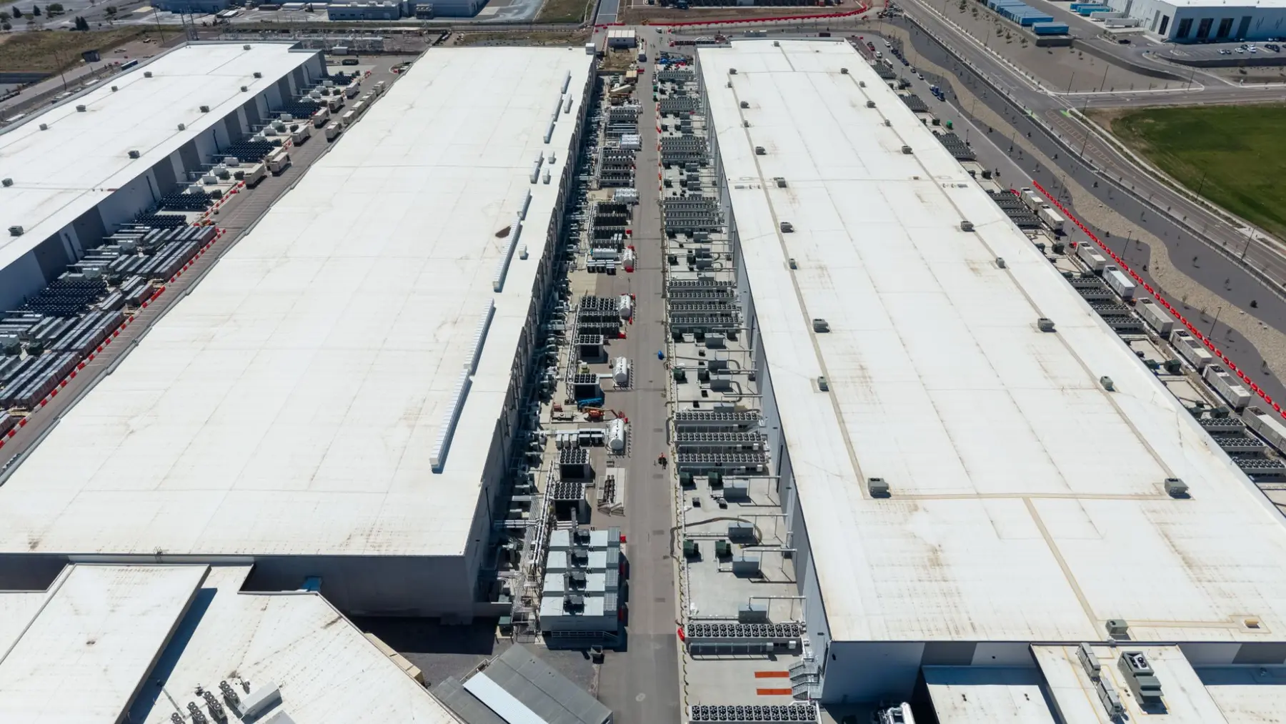
What we survey from the air
Six lines, one advantage: the whole asset in one pass, under one set of conditions, from angles a ladder or a lift cannot reach — which pays off most on the biggest buildings and sites. Each line below has a “How the inspection works” button if you want the detail.
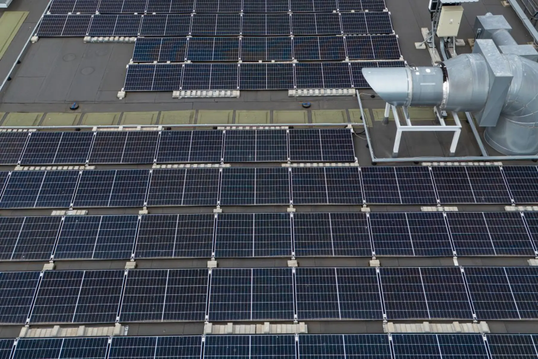
Solar PV arrays
Commercial rooftops, industrial arrays and ground mounts, captured from above in a single mobilization. Modules under electrical stress run warmer than their neighbors in the same string; every anomaly is located to the module, classified by its thermal pattern and ranked for repair, in a report structured on the IEC 62446-3 anomaly classes.
What it finds
- Cell and module hot spots: sharply bounded, anchored to one location
- Strings and combiners producing nothing — a cool, contiguous run of modules
- Bypass diode failures: a repeating banded pattern within a module
- Junction box and connector heating — small signatures, high consequence
- Progressive, position-correlated degradation across a section, visible year over year
- Post-hail cell fracturing, with soiling and shading identified as non-defects
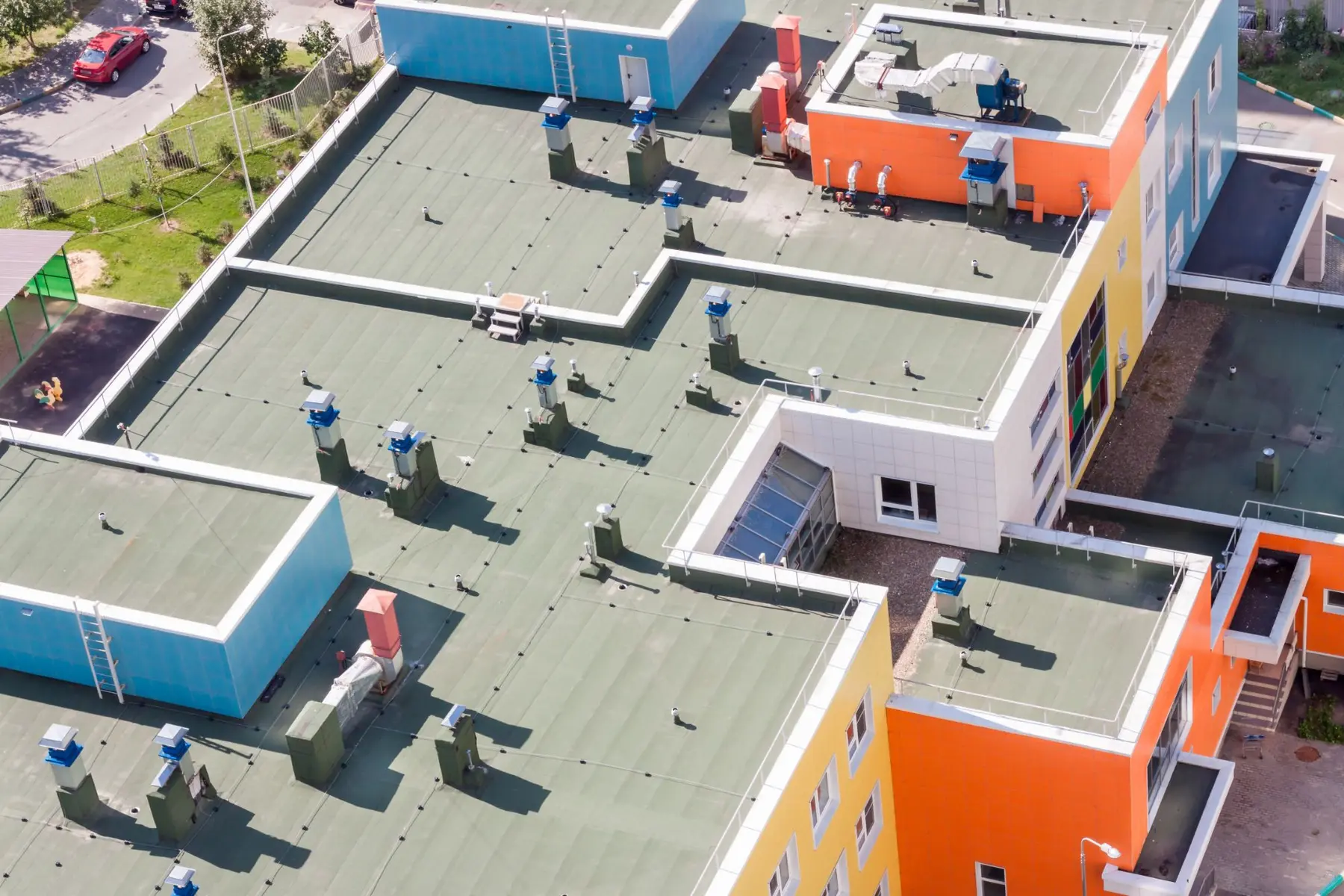
Large flat and low-slope roofs
Built for large low-slope roofs: warehouses, distribution centers, data centers, hospitals, schools and campus buildings. An insulated roof puts the insulation between the deck and the membrane, which is exactly where water goes when the membrane fails. Wet insulation stores and releases heat differently from dry, so after dark the wet areas show as shapes you can outline on a scaled plan and replace as a defined area instead of a whole field.
What it finds
- Trapped moisture in the insulation, outlined and given an estimated area
- Wet areas at the primary leak sources: perimeter flashings, penetrations and drains
- Board-shaped, picture-frame and free-form patterns that say which insulation is wet
- Pre-existing moisture distinguished from hail damage
- Condition for a re-roof decision, a warranty claim, an acquisition or a reserve study
- Rooftop HVAC captured in the same pass
Facades on mid- and high-rise buildings
On mid- and high-rise buildings, hospitals and large commercial blocks, the elevations above the second story are the most expensive part of the building to look at and therefore the least often looked at. Aerial capture removes the access cost: every face, thermally and visually, from repeatable positions square to the wall, without a lift, a swing stage or a street closure, with suspect areas located for probe verification by an envelope contractor.
What it finds
- Latent moisture behind EIFS and stucco, warm after sunset from the stored sun
- Delaminating stucco or concrete, and moisture in cavity walls
- Ungrouted cells and missing structural details in block walls
- Failed sealant and open joints at curtain-wall and panel transitions
- Thermal bridging at slab edges, parapets, shelf angles and balconies
- Repeatable capture positions so next year’s elevations are comparable

Substations, from the air
The whole yard in one pass under representative load, for co-ops, municipal utilities and the engineering firms and prime contractors who serve them. From above, the tops of bushings, the far side of the bus and the upper radiator sections are in view with everything else, captured without an outage and without anyone on a ladder, and reported as exceptions against the equivalent point on a reference phase.
What it finds
- Bushing tops, jumpers and high bus connections a ground survey cannot see
- Disconnect switches and breakers heating at blades, clamps and bushings
- Transformer cooling: blocked or inactive radiator sections, seen from above
- Capacitor banks and reactors, located to the individual can
- Instrument transformers and surge arresters showing internal degradation
- Bus and conductor sections running hot relative to comparable spans
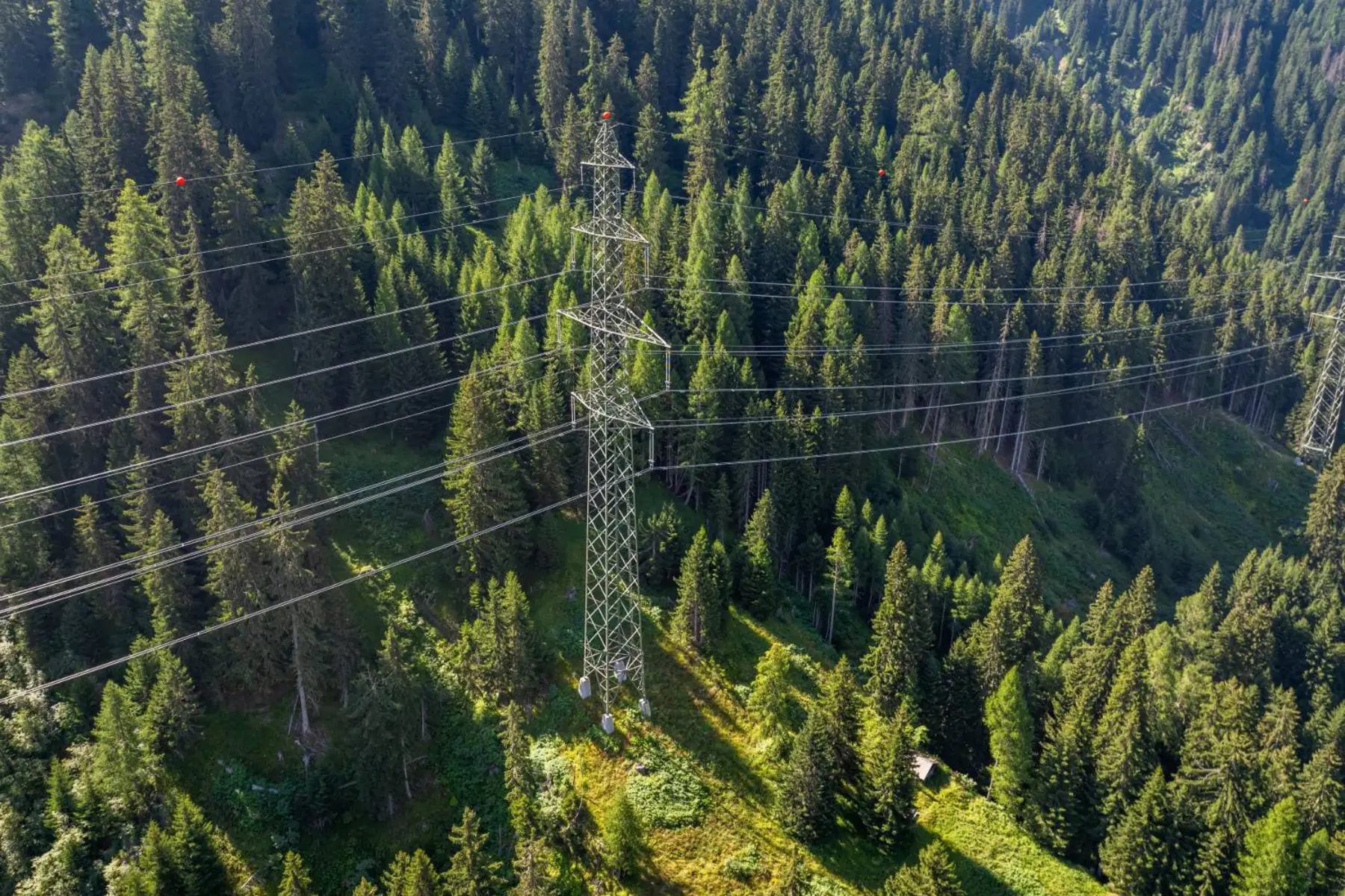
Overhead distribution and transmission lines
Aerial thermal patrol of energized overhead lines, scoped to a feeder, a transmission section or a circuit flagged by outage history rather than an open-ended patrol. Every exception is located to the structure number and compared with the other phases on it.
What it finds
- Compression and automatic splices, hot-line clamps and dead-end hardware
- Fuse cutouts, disconnects and jumper connections
- Pole-mounted transformers, regulators, reclosers and capacitor banks
- Degraded insulators, tracking and failing surge arresters
- Transmission splices, spacer-dampers, jumper loops and insulator strings
- A specific section after a storm or an outage, before or after re-energizing
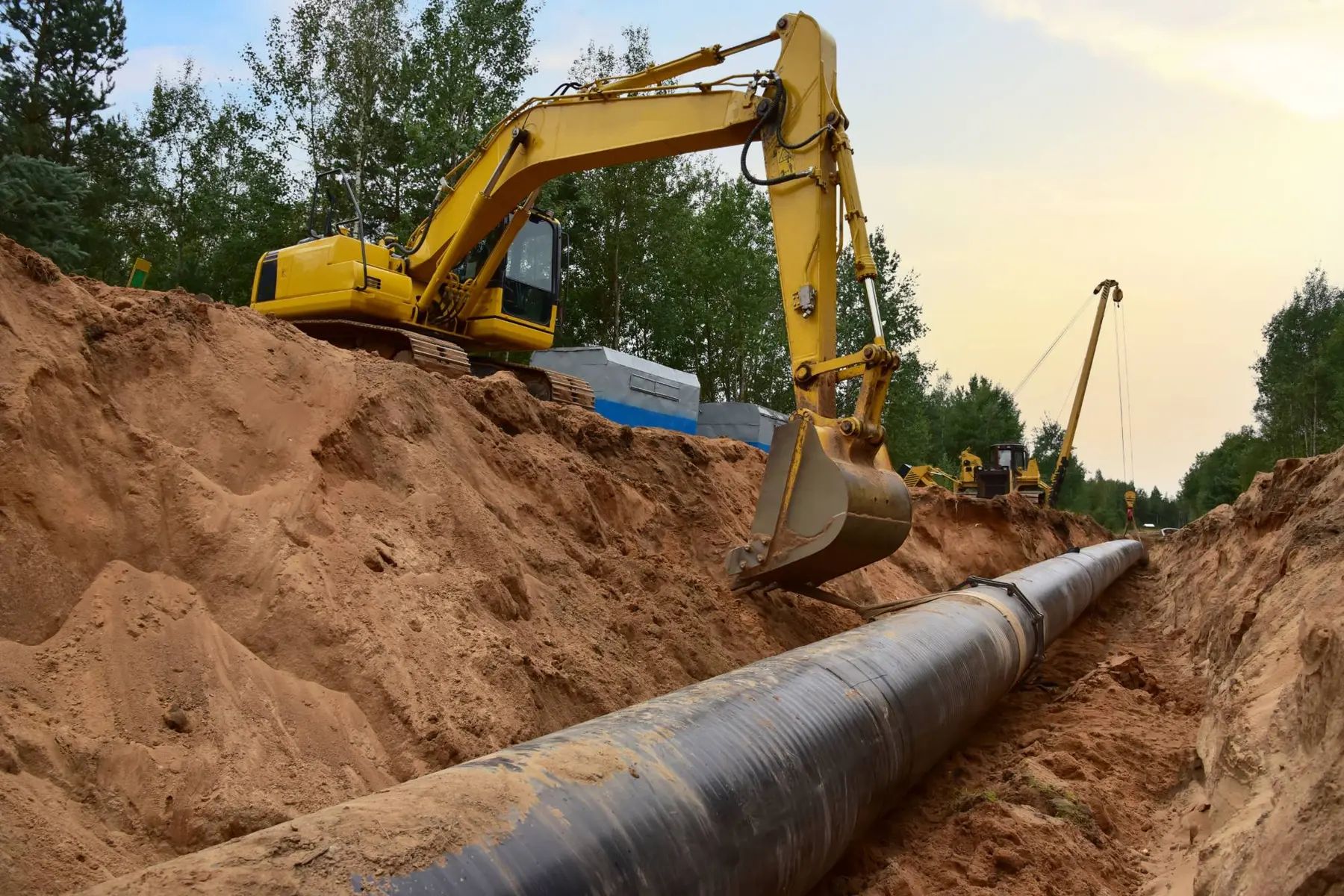
Underground pipes and steam lines
Buried steam, condensate, hot-water and chilled-water lines, and radiant floor heating. A leaking or uninsulated line changes the temperature of the ground above it; after dark, once the ground has given up the day’s solar heat, the survey follows that trace along the route and marks where it changes, so one test pit replaces a trench.
What it finds
- Steam and hot-water leaks: the warm trace widens, brightens or spreads sideways
- Failed conduit insulation along a section of the route
- Chilled-water leaks, which show cool instead of warm, on a warm night
- Lines under pavement, which often show more clearly than under turf
- Radiant floor loop leaks, as a hot spot on the slab or at its perimeter
- Where a line actually runs, when the drawings are missing or wrong
What you receive
The report is the product. Every inspection is qualitative — exceptions found by comparing like with like under similar conditions — and every finding is documented so the comparison can be checked.
48 HOURS FOR A SINGLE FRONT RANGE SITE · 5 DAYS MULTI-SITE
- A plan or asset list with every exception located to the component, module, structure or area
- A thermal image and a daylight photograph of each exception, beside what it was compared against
- The load, weather and conditions at the time of capture, so the images can be read in context
- A defect class, a priority ranked by consequence, and a recommended action for every finding
- Findings as structured data for your CMMS or capital plan, so nothing is retyped from a PDF
- Re-inspection of repaired items on request, documented with a new image
Thermal inspection program
Inspect on a regular schedule
A single survey tells you what is wrong today. A program is the same inventory, inspected the same way on a fixed cadence, with findings tracked to work orders and each cycle compared with the last. It is also the simplest way to buy this: one agreement, one point of contact, inspections on the calendar before you need them.
For aerial: roofs every year after dark in the warm months, solar arrays in the summer irradiance window and again after hail, facades after a sunny day, substations and lines under representative load, and buried lines on a cold, clear night — from the same capture positions each cycle, so this year’s survey sits over last year’s.
- One or two inspections a year on a fixed inventory, under the same conditions each time
- Every repair re-inspected before it is closed, documented with a new image
- Year-over-year comparison from the second cycle, so trends are visible
- Program rate on anything additional, and priority scheduling after storms and before shutdowns
Aerial questions
Aerial or by hand?
It depends on the asset and its size. Large roofs, mid- and high-rise facades, solar arrays, substation yards, overhead lines and buried routes are captured from the air, which covers the whole asset in one pass under the same conditions and reaches elevations, bushings and spans a lift or a ground survey cannot. Electrical rooms, mechanical plant, building interiors, low-rise walls and substation control buildings are inspected by hand. For a roof, the aerial map is followed by a walkover to mark the outlined areas on the surface for the roofer. The method follows the asset; the report is the same.
Scope an aerial survey
Send the asset — roof, array, facade, yard, line section or buried route — its approximate size and what prompted the request. We will return a scoped quote, with the flight plan, the weather window and any paperwork your vendor file needs, within one business day.
Front Range daily. Statewide for the right project.
Quote scoped and returned within one business day.